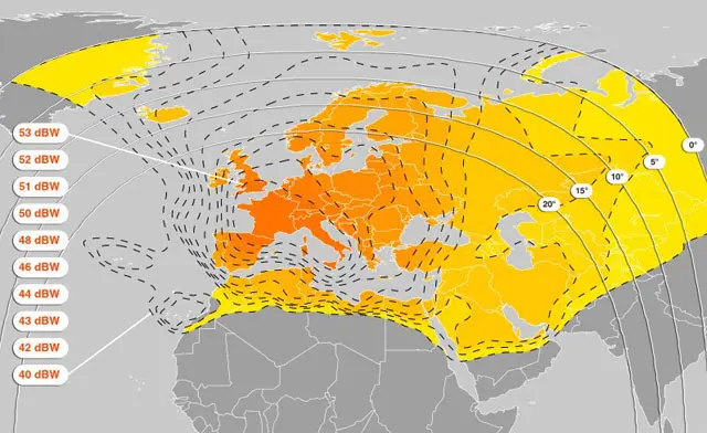
Hotbird occupies 13° East, and it is among the most heavily used orbital positions serving Europe, North Africa and the Middle East. Point a dish at it and a blind scan can return well over a thousand services.
That density is not because the satellite is unusually large. It comes from three things working together, and each one explains something you will run into while setting up reception.
The position is shared
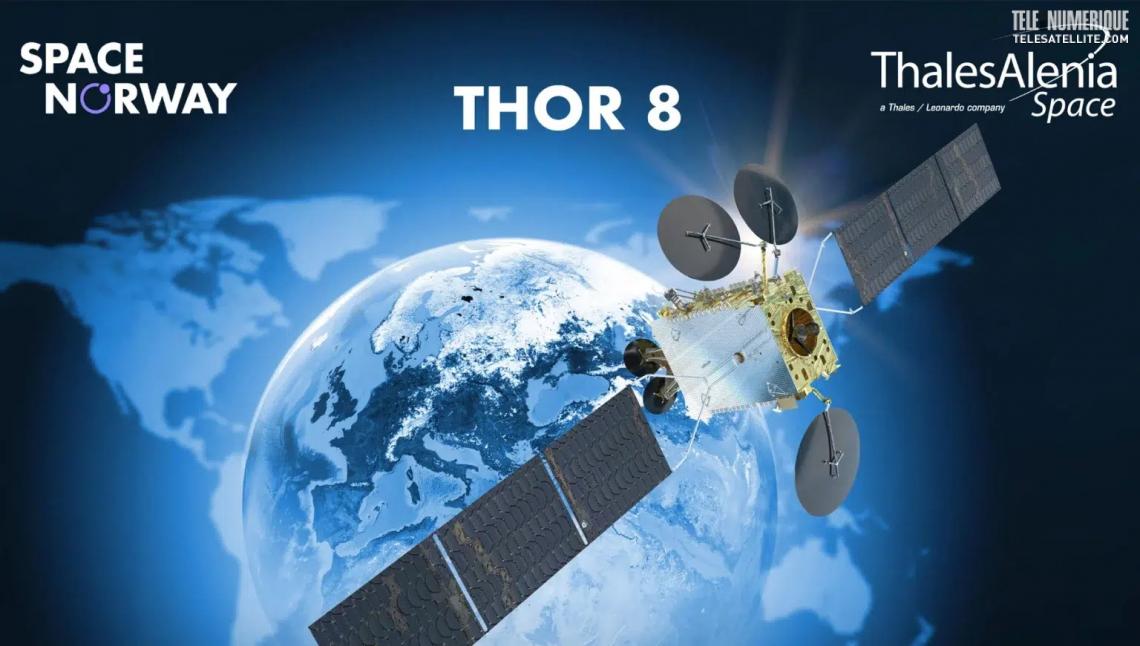
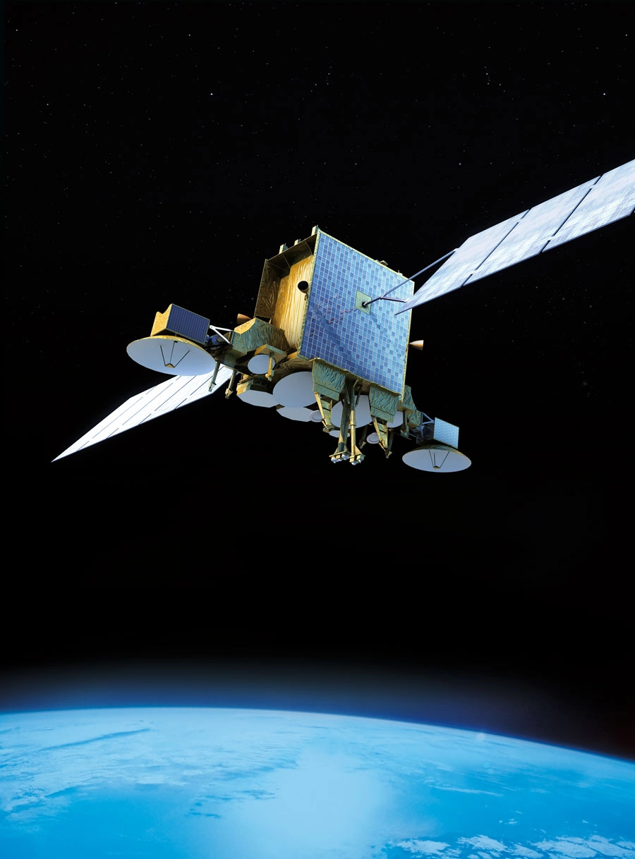
Like most heavily used slots, 13° East is not a single spacecraft. Multiple satellites are co-located there, held close enough together that one dish sees them as a single source.
From the ground the distinction is invisible — you aim at a point in the sky and collect everything transmitting from it. But it explains behaviour that otherwise looks random:
- A channel can move to a new frequency without you touching the dish, because it shifted to a transponder on a different co-located satellite.
- One transponder can survive a storm while its neighbour drops out, because they belong to different spacecraft or carry different configurations.
- A single scan of the position returns everything from all of them at once.
Every frequency is used twice
The second reason for the density is polarisation reuse.
A satellite transmits two independent signals on the same frequency, oriented at right angles to each other. A vertically polarised carrier and a horizontally polarised one occupy identical spectrum without interfering, which doubles the usable capacity of the band.
Your receiver selects between them electrically, by changing the DC voltage it sends up the cable to the LNB:
- 13 V selects vertical
- 18 V selects horizontal
This is worth knowing because of a specific, very common fault. A long or thin coaxial run drops enough voltage that the LNB never quite reaches the 18 V threshold. The symptom is unmistakable once you recognise it: every vertical channel works and every horizontal channel is missing. Nothing is wrong with the dish or the alignment.
The band is split in two
Hotbird broadcasts in Ku-band, which for this region spans roughly 10.7 to 12.75 GHz. That range is too wide for an LNB to convert in one pass, so a universal Ku LNB carries two local oscillators:
| Band | Input range | Local oscillator | Selected by |
|---|---|---|---|
| Low | ~10.7–11.7 GHz | 9750 MHz | No tone |
| High | ~11.7–12.75 GHz | 10600 MHz | 22 kHz tone |
The receiver subtracts the relevant oscillator frequency to work out what to tune, and injects a 22 kHz tone onto the cable when it needs the high band.
This produces the second recognisable fault: if that tone is not reaching the LNB — a failing LNB, a cheap splitter, a damaged cable — then low-band channels work and high-band channels are absent. Again, the alignment is fine.
Between voltage switching and tone switching you get four states, which covers every combination of band and polarisation available at the position.
What density means in practice
A position carrying this many services has some consequences for how you work with it.
Blind scans take a long time. The receiver sweeps the entire intermediate frequency range testing for carriers, measuring each one's parameters itself rather than reading them from a stored table. Expect tens of minutes for a full pass. In exchange it finds what is actually on the air, which a published list cannot guarantee.
The channel count will look implausible. A full scan returns feeds, regional variants, radio services, data carriers and encrypted services alongside the television channels you were looking for. Blank or numbered entries are services that did not publish a readable name in the stream, not broken ones.
Duplicates are normal. The same service is frequently carried on more than one transponder, sometimes at different resolutions.
Aiming at 13 degrees east
The procedure is the same as for any geostationary position, and the order matters:
- Confirm line of sight along the bearing and elevation. Trees grow, and wet foliage attenuates considerably more than dry.
- Check the mast is plumb. If it is not, the elevation scale is wrong and azimuth shifts as you tilt.
- Set elevation from the bracket scale. This narrows the search to one horizontal sweep. On an offset dish the reflector is deliberately tilted relative to the beam, so trust the scale rather than the apparent angle of the dish face.
- Sweep azimuth slowly. Receivers average their readings over a second or more; moving fast is the usual reason a satellite is missed.
- Verify the position. Neighbouring slots give plausible signals. Lock a known transponder and check the satellite identity in the stream if your receiver reports it.
- Peak azimuth, then elevation, then skew — watching quality, not strength.
Skew deserves attention here
Because 13° East is received across a very wide geographic area, the required LNB skew varies a lot between locations. Skew exists because your dish is not on the equator directly below the satellite; viewed from an offset position, the polarisation plane appears rotated.
Getting it wrong produces a distinctive failure: the vertical and horizontal signals begin leaking into each other, so both polarisations show reduced quality by a similar amount. That symmetry is what distinguishes a skew problem from a voltage problem, where one polarisation fails completely and the other is perfect.
If quality is mediocre and roughly equal on both polarisations, adjust skew before touching the dish angles.